제품상세보기
Nautical Charts
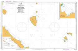
Australian Hydrographic Service PNG539

Title Papua New Guinea - New Ireland - Nabuto Bay to Cape Lemeris including Lihir Island
North Lat 2 46.29 S
South Lat 3 39.96 S
East Long153 24.46 E
West Long151 60.00 E
Title Luise Harbour
North Lat 3 06.21 S
South Lat 3 07.63 S
East Long152 39.42 E
West Long152 38.00 E


